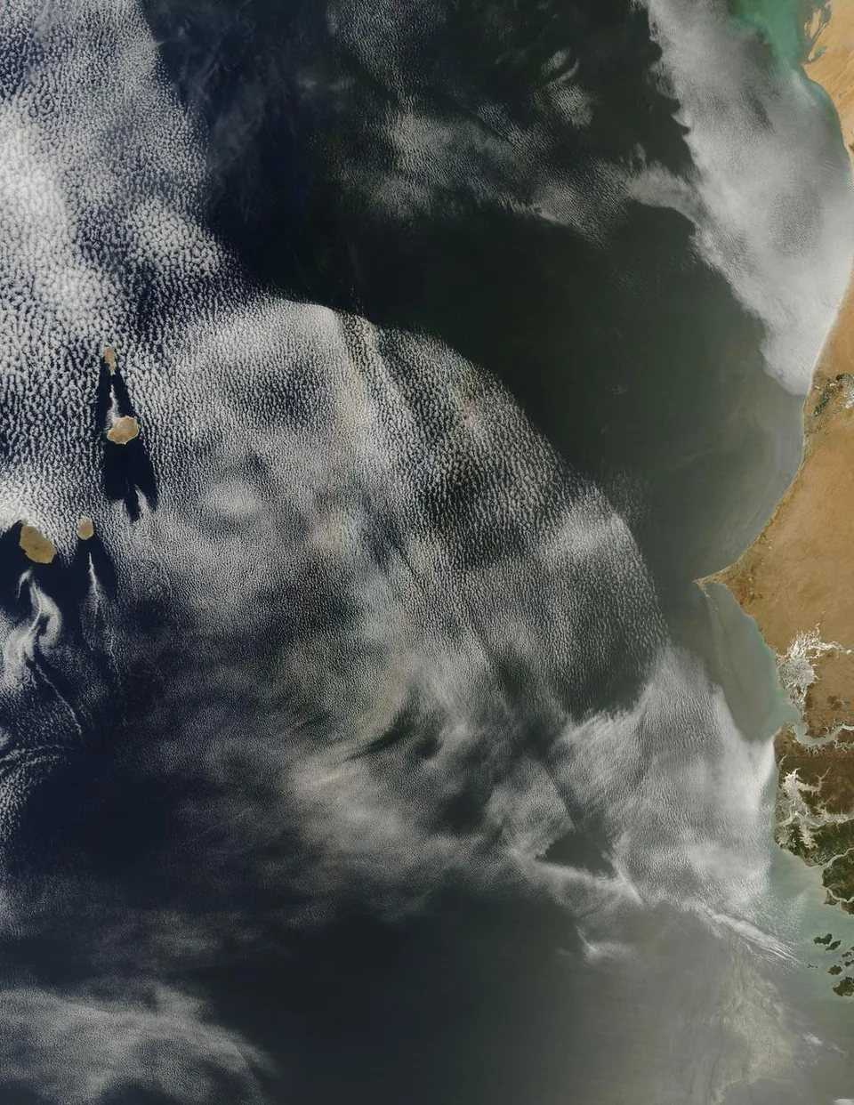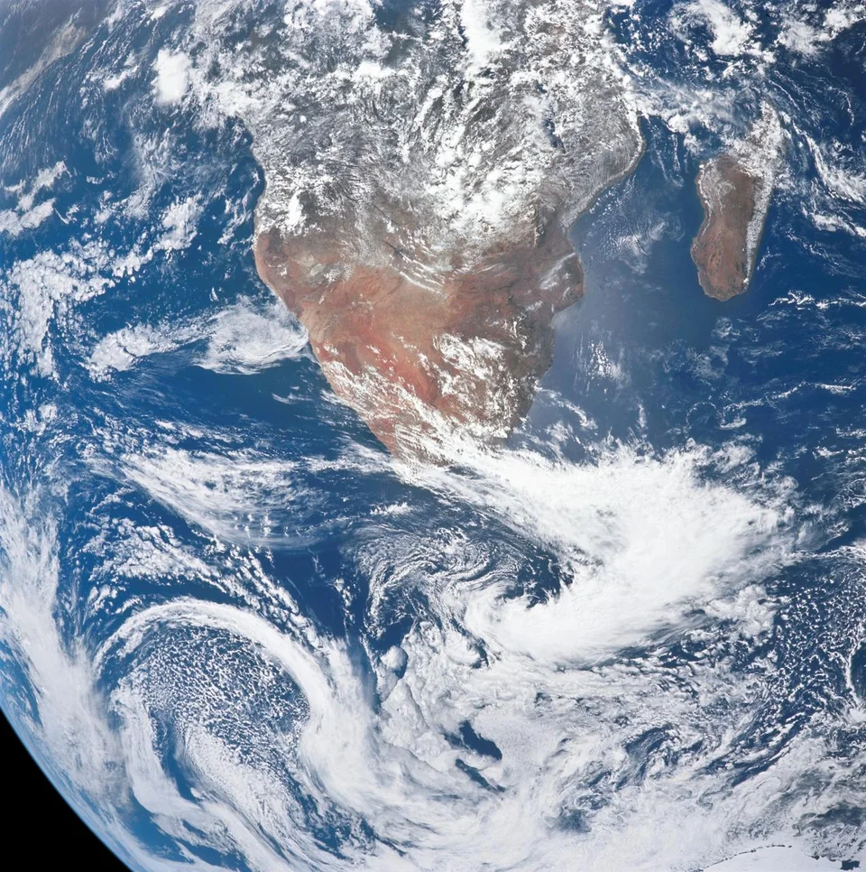
- ESA published its JANUS camera mosaic on 16 October, from a 28 September Earth flyby.
- About forty red, green and blue frames contributed to a strip running towards the Gulf of Guinea.
- Each pixel covers a larger area towards the Atlantic end as the spacecraft receded.
Inside this story 2 perspectives
Look along the strip of Africa photographed by the European Space Agency’s Juice spacecraft and one feature has little to do with the continent below. At the Madagascar end, one pixel represents about 150 metres on the ground. Towards the Atlantic that distance grows to around 375 metres. A similar-sized object would occupy fewer pixels at the second end of the picture. During the four minutes in which the camera gathered the frames, the spacecraft was pulling away.
ESA published the mosaic on 16 October. The photographs themselves came from a 28 September pass by Earth, when the planet’s gravity helped adjust Juice’s course towards Jupiter. At closest approach, the spacecraft passed 8,640 kilometres above the Indian Ocean. The short imaging sequence began just afterwards. It covered a band roughly 250 to 300 kilometres wide, crossing Mozambique, Malawi, Zambia, the Democratic Republic of the Congo and Angola towards the Gulf of Guinea.
How the colours came together
JANUS, the science camera aboard Juice, has thirteen colour filters. Three were used for this mosaic. About forty exposures taken through red, green and blue filters were positioned on a map grid using information about where the spacecraft was and which way it was pointing. Overlapping areas were blended, and the colours were scaled together to approximate what the eye would see.
This matters when the mosaic is displayed over a map of the whole continent. Only the coloured strip comes from the camera sequence. The surrounding map provides orientation. The contrast also helps readers recognise what happened within a few minutes. The camera footprint moved, Earth turned below it, and the size of each patch on the ground recorded by an individual pixel changed. Stitching the frames to a common map does not give them all the same original detail.
Why practice on a planet already mapped?
The mission team knows Earth well enough to compare features and see whether the sequence came together as expected. Coastal outlines, the transition between land and water and bands of cloud give the instrument team recognisable structures to examine. During the broader five-day observation campaign, JANUS took 740 images of Earth and the Moon and used all its filters.
Near Jupiter the camera’s purpose will be to study a planet and icy moons with very different surfaces and observing conditions. The Earth pass gave the team a chance to check both the instrument and its method for turning separate exposures into an interpretable view. One of the lessons travels with the picture. Whenever one end of a mosaic seems more detailed than the other, the route of the camera may explain as much as the view below.