- The Abuja meeting is reviewing a proposed satellite and ground infrastructure. The spacecraft has yet to fly.
- A regional needs study in 2023 helped shape the technical work now before experts.
- Funding, receiving stations and training are part of the design discussion, alongside the spacecraft.
Inside this story 2 perspectives
A 3D-printed model of a satellite appeared in Abuja on 18 November. One of the most consequential items on the agenda was something absent from the model. It was the network of stations on the ground that would receive its pictures. Without them, and people trained to interpret what arrives, a satellite can cross a flooded river and tell the community on its banks very little.
ECOSAT-1 is the Economic Community of West African States’ proposal for its first regional earth-observation satellite. Technical experts are meeting from 18 to 20 November to examine its design. Nigeria’s National Space Research and Development Agency prepared the technical study for the commission. Science and technology ministers are due to consider the report after the experts’ review. The object unveiled in Abuja is a model of the proposed spacecraft.
Who decides where to look?
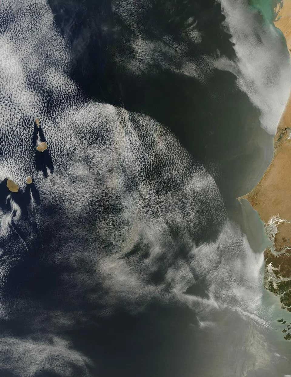
Floods, drought and illegal fishing are among the problems the region wants to monitor. Nigeria’s space agency says dependence on overseas commercial imagery can leave West African users with limited control over cost and access, including in emergencies. A regional service could give its members a greater say in which observations take priority and who receives them.
Consider a flood extending across a national border. An image acquired at the right time could help agencies on either side see the extent of the water. The practical questions follow quickly. Which agency can request the observation? Which desk receives the processed map? Can the officer coordinating road closures open it on the equipment already available? A shared spacecraft could make cooperation easier if member countries have worked out those answers in advance.
The investment below the orbit
The project grew out of ministerial recommendations made in Cotonou in 2018. A 2023 study asked what member states needed from earth observations. In Abuja, experts are considering the proposed locations of receiving stations, the skills available across the region, a training plan and the overall budget. Potential funding and technical partnerships are also on the agenda.
Those decisions will shape which institutions can use the service regularly. An agricultural agency might need comparable views of a growing area over a season. A disaster-management team may need an answer the same day. The staff, processing time and delivery arrangements for the two tasks differ even when they draw on the same instrument.
The printed model gives the region a tangible picture of its ambition. An equally persuasive demonstration, as the project advances, would begin with a request from a local agency and follow it all the way through to a usable map on a decision-maker’s desk. That journey is what the investment ultimately has to buy.