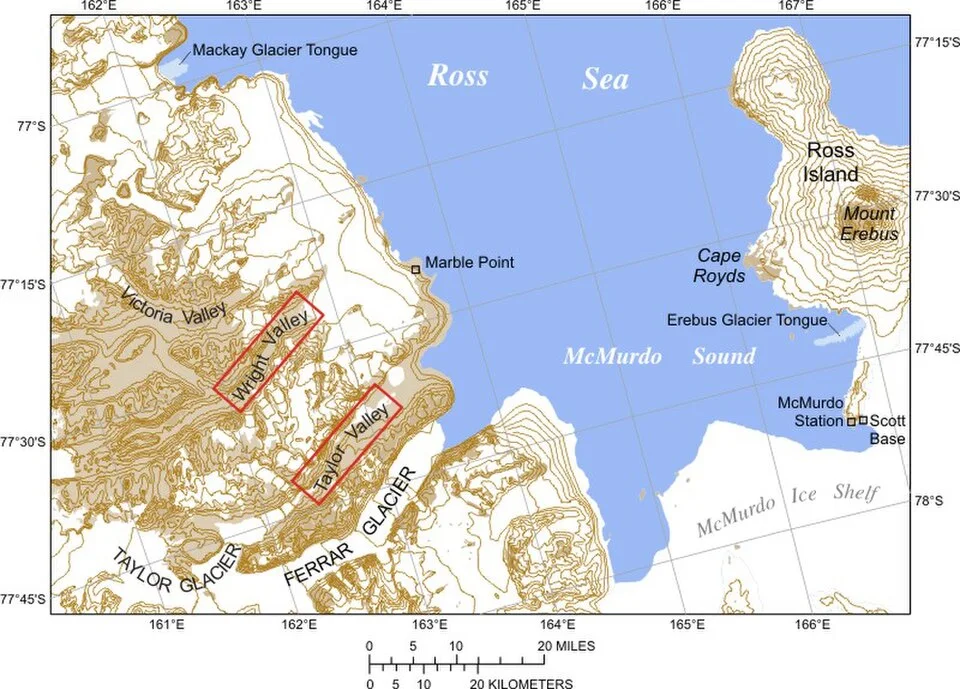
- The researchers examined April-to-August conditions in McMurdo Sound from 2013 through 2024.
- They counted three to eight combined opening or breakout events per winter in the series.
- The proposed link involves Ross Sea storms and a long corridor of strong winds. The paper entered public discussion on 22 September.
Inside this story 2 perspectives
In winter a dark opening in coastal Antarctic ice need not mean that the water has suddenly warmed enough to melt it. Wind can open a gap or set ice moving, even in the cold. To understand how that happens in McMurdo Sound, a research team worked backwards from satellite observations to weather stations and then out to storms over the Ross Sea.
The paper, posted for public discussion on 22 September, is a preprint by M. Fülster and colleagues. It examines the winters from 2013 through 2024, using Japanese satellite measurements of sea-ice concentration alongside local weather observations and reconstructed atmospheric conditions. The researchers counted between three and eight events in each April-to-August period. Their definition combines two things that can look similar from a distance but have different starting points.
Water where there had been ice
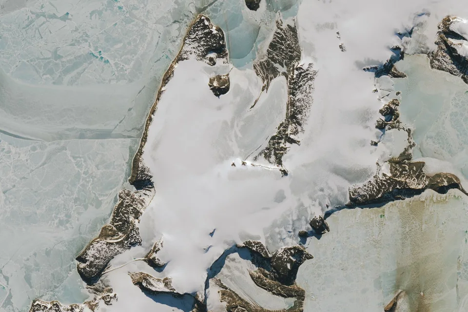
Fast ice is sea ice attached to the coast or another fixed feature. The word fast refers to its attachment. It can grow into a relatively stable surface before a strong wind helps break it away. A polynya is an area of open water or reduced ice cover within the surrounding ice. Wind can keep removing newly formed ice from an opening. A fresh polynya and the departure of previously attached ice both lower the fraction of an area covered by ice.
Separating those events mattered to the researchers. They found that polynya openings predominated in the earlier part of the record, through 2018, while fast-ice breakouts accounted for more events later. A bare count of dark areas on a satellite image would miss that difference. Earlier work on the sound has also examined ice thickness and found that stormy and calm winters can have quite different patterns of freeze-up and breakup.
Following the wind over a longer distance
The preprint associates breakouts with strong winds from the south. The proposed sequence starts further away. Cyclones over the Ross Sea can create a strong difference in air pressure across the region. Under those conditions air flows along the Transantarctic Mountains in a corridor known as the Ross Ice Shelf airstream. The researchers connected that wind regime to conditions in the sound.
A coastal weather station can tell an observer when the local wind strengthens. The wider pressure pattern gives a possible explanation for why those winds arrived and why some winters produced more openings than others. Neither measurement makes the satellite image redundant. They answer different parts of the same question about a changing patch of ice.
The work covers one region and a dozen winters, and the new analysis has yet to complete peer review. For now, its contribution is a testable explanation at the right scale. To understand a gap in the ice near the Antarctic shore, look both at what was attached there yesterday and at what the atmosphere was doing hundreds of kilometres away.