- JAXA confirmed spacecraft separation about 29 minutes after launch on 11 August local time.
- Japan’s Michibiki navigation system is designed to complement signals from GPS over the region.
- Placing a spacecraft into orbit is a different milestone from making a tested positioning service available.
Inside this story 2 perspectives
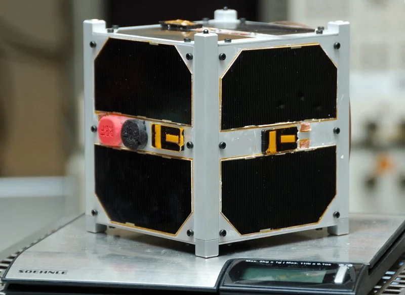
A Japanese H3 rocket lifted off from Tanegashima at 4.23am local time on 11 August carrying Michibiki No. 7. The Japan Aerospace Exploration Agency confirmed that the satellite separated about 29 minutes later and entered its planned orbit. Because Japan was already into Tuesday morning, international satellite catalogues using universal time record the same launch on Monday, 10 August.
The clearest explanation of what the spacecraft is for can be found at street level. Stand in a narrow corridor between buildings and the sky is reduced to a strip. A satellite above an open field might be hidden from a receiver just a short distance away. Japan’s Quasi-Zenith Satellite System, or Michibiki, is designed to improve positioning in a country where cities and mountainous terrain often obstruct the view.
The value of a better view overhead
A navigation receiver uses the timing of signals from satellites whose positions are known. The mix of signals available in a particular spot affects how well a receiver can estimate its own position. Japan’s Cabinet Office describes satellites that spend long periods high above the region, where tall obstacles are less likely to block them. The system uses signals compatible with GPS, allowing suitably equipped receivers to use both.
The constellation includes spacecraft on more than one kind of orbit. A map showing a single position above Earth is therefore a poor guide to what any one person will see throughout the day. It also helps to distinguish a satellite’s availability from the capability of the device using its signals. A service with very fine accuracy under appropriate conditions does not give every ordinary phone that same accuracy on every street.
Which user needs which correction?
The Cabinet Office gives examples ranging from farm machinery to disaster information. A farmer attempting to guide equipment along adjacent rows needs enough precision to avoid gaps or overlap. A person locating a station entrance has a different tolerance for error. A public warning delivered across a region answers a different question again. Each use places different demands on the receiver and the service it is designed to receive.
On launch day the engineering achievement was specific. JAXA could report that its launcher had performed as planned and released its passenger into the intended orbit. Users on the ground still need the spacecraft and the wider system to work together, with signals tested and the appropriate service made available. The meaningful end point for the person between buildings is when a compatible receiver can use that additional information to locate the right street or doorway.