- ESA’s lab and its partners issued a collaboration call on 21 September.
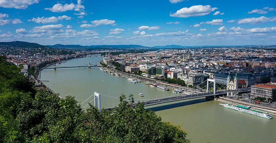
- The planned demonstration focuses on the Danube and French river network.
- The call seeks technical collaboration and does not constitute a procurement award.
Inside this story 2 perspectives
A river gauge and a satellite can observe the same flood while answering different questions. The gauge can record water rising at one location. A satellite image can show how far water has spread across surrounding land at the time of its pass. A person trying to understand a fast-changing event wants the second observation while the first is still relevant. The hard part is getting the instruments to work together in time.
On 21 September the European Space Agency’s Φ-lab invited organisations to help develop an Earth Observation Virtual Constellation. The proposed system would coordinate satellites, ground sensors and computing resources that may belong to different operators. The initial demonstration is to concentrate on flood monitoring in the Danube basin and the French national river network. The call asks prospective partners to describe what they can contribute. It does not award a contract or announce an operational warning service.
What makes the constellation virtual?
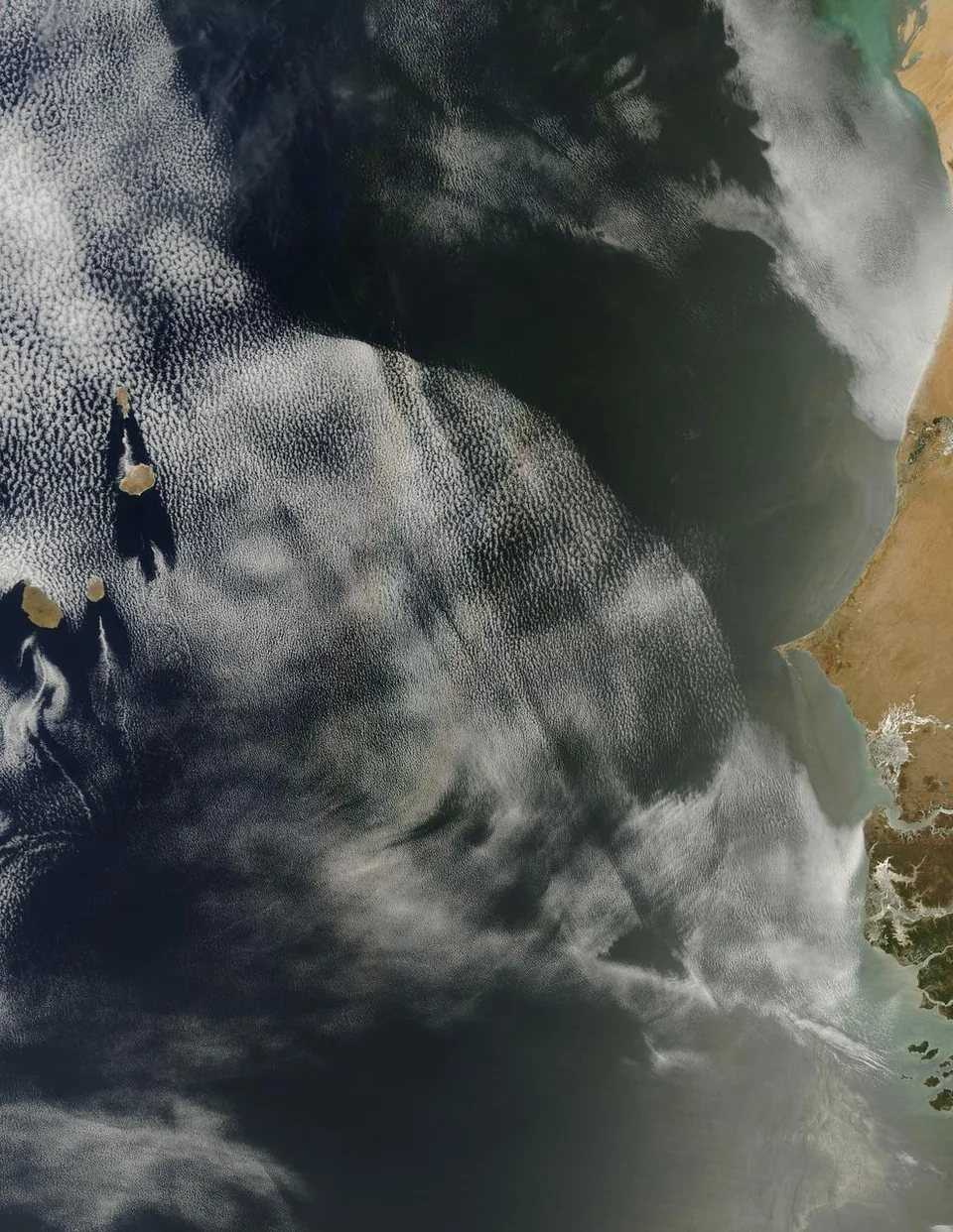
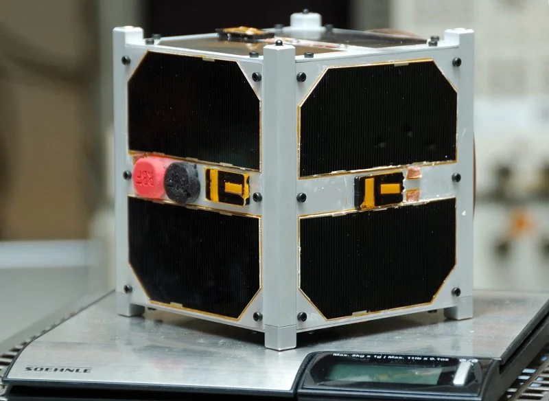
A satellite constellation generally brings to mind several spacecraft planned and operated as a group. The ESA initiative is asking a different engineering question. Can instruments already available in space or on the ground act as a temporary observing team around a particular information need? The participating systems would not need to share an owner, an orbit or a physical design.
Consider the river gauge again. Its reading could give a reason to seek imagery of the surrounding floodplain. The system would have to establish which instruments could observe the area, when their data would arrive and where the result could be processed. A satellite’s scheduled route and the capabilities of its sensor limit the choices. A network can reorganise the observations available to it, but it cannot place a spacecraft instantly above a chosen river.
The time on the image matters
For flood monitoring, an accurate image is most useful when its acquisition time and location are clear. Combine it with a ground measurement taken many hours later and two reliable observations can give a misleading impression of the same event. Coordinating sensors therefore involves more than asking for an extra picture. Their records need to travel with enough context for someone to establish what each one actually saw.
ESA and a consortium led by CS Group want to identify technical capabilities and potential partners before shaping the system further. Later phases could consider other regions or types of rapidly changing event. For the river demonstration, the most telling comparison will be concrete: what information could the existing observation schedule have produced, and what useful view could a coordinated set of sensors have delivered while the water was still in the same place?